 From public discourse to political statements, people discussing Ukraine often talk about the East and the West. Indeed, there is a widespread belief that Ukraine has sharp regional differences, that the country is split in two along the lines of language, historical narratives, economic values, geopolitical orientations, and so on. But is the country really divided in this way? And, if not, why did it become a common conception?
The roots of this phenomenon can be found, at least in part, within academia. Traditionally, researchers have grouped their data on Ukraine into macro-regions: East, West, South, Center, and Donbas. Because nationwide surveys usually have a sample size of only 1,800-2,000 respondents, the information cannot be broken down into the 27 administrative units, or oblasts and special-status cities, that constitute Ukraine (including Crimea). Doing so would create sample sizes too small to be statistically significant, meaning researchers couldn’t draw dependable conclusions.
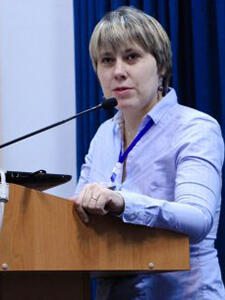
Why is this important? Sereda, who is also a sociologist at Ukrainian Catholic University, argues that the constant use of macro-regions in scholarly publications has contributed to the formation of stereotypes about parts of Ukraine.
“Once created as a convenient research tool, macro-regions were picked up by the media, which contributed to the formation of a widely spread belief that these regional differences are powerful predictors of political cultures, as well as people’s attitudes and practices in different parts of Ukraine,” Sereda said.
In other words, this research strategy can create an illusion of differences between macro-regions, whereas differences are actually more nuanced and dynamic throughout Ukraine and within each region. Furthermore, when oblasts with different historical backgrounds or social-demographic composition are grouped together into the same category, it can be impossible to see some of the important factors and variables that affect attitudes and practices.
Accessing micro-level and cross-regional analysis
 To overcome these obstacles, the University of St. Gallen in Switzerland launched “Region, Nation, and Beyond: An Interdisciplinary and Transcultural Reconsideration of Ukraine,” a project which supported surveys with enough respondents to be statistically significant on the oblast level. Sereda, who was part of the international research team, is now working with the MAPA team at HURI to import this data into HURI’s interactive digital atlas of Ukraine. The new “History and Identity” webmap allows Sereda and other researchers to analyze data by oblast and use the visual representation along with the mapping tools to aid their analyses.
By mapping data along oblast or raion lines, this project enables researchers to explore and explain intra-regional differences and cross-regional similarities, by revealing more precisely the local variances.
In particular, Sereda’s work is focused on Ukraine’s social and political contexts in 2013 and 2015. She is assessing cross-regional patterns in respondents’ attitudes towards the past in four categories: monuments and commemorative practices, holidays, events, and historical figures.
Re(mapping) places of historical memory in Ukraine
 On Monday, January 30, 2017, Viktoriya Sereda, HURI MAPA Project Research Fellow, gave a presentation as part of HURI’s Seminar in Ukrainian Studies series. During her talk, she discussed how Ukrainians’ attitudes toward and perception of monuments, commemorative practices, and public spaces have changed since the Euromaidan.
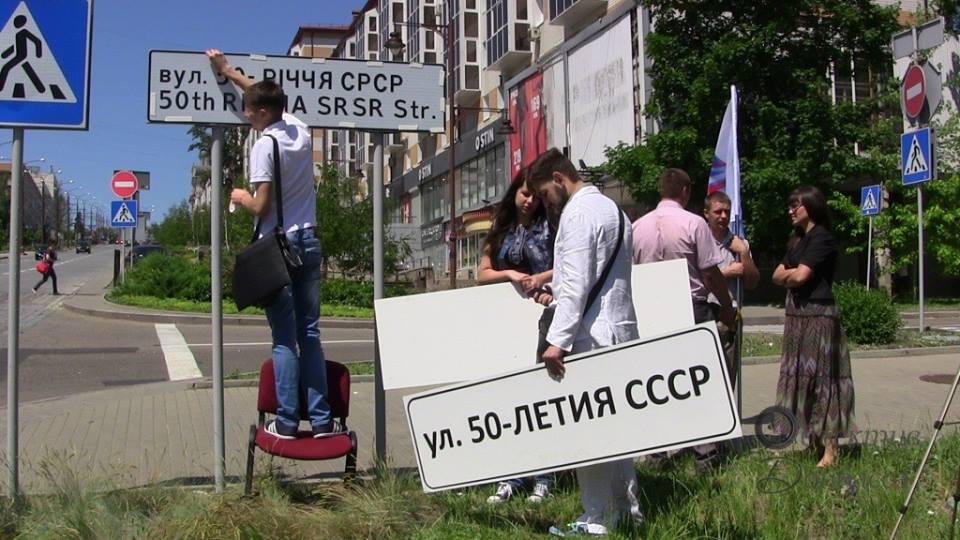
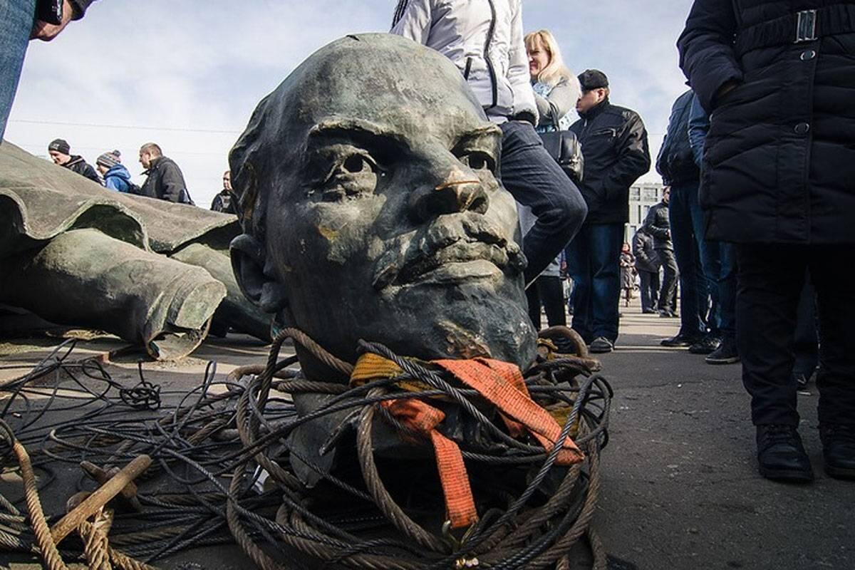
For example, since the revolution, Ukraine has seen an attempt to erase the symbolic elements of the Soviet past, manifested in the dismantling of Lenin statues and re-naming streets and places that had names associated with the Soviet era. Annexed Crimea and the seized territories of Donbas are also experiencing active symbolic recodification.
Additionally, the displacement of persons caused by the annexation of Crimea and war in Donbas has instigated a re-assessment of urban landscapes, as displaced persons encounter their new living spaces with differing reactions.
Sereda’s presentation demonstrated the mapping capabilities of the MAPA project, showcasing her data on how attitudes toward the past have changed and how the symbolic meaning of spaces has been reconceptualized at both the macro- and micro-level.
The event, entitled “(Re)mapping Spaces of Historical Memory in Ukraine,” took place in room S-050 in the Center for Government and International Studies (CGIS) South building, 1730 Cambridge Street, Cambridge, MA, from 4:15 to 6:00 pm.
Listen to Sereda's talk and watch the PowerPoint presentation on our YouTube channel.