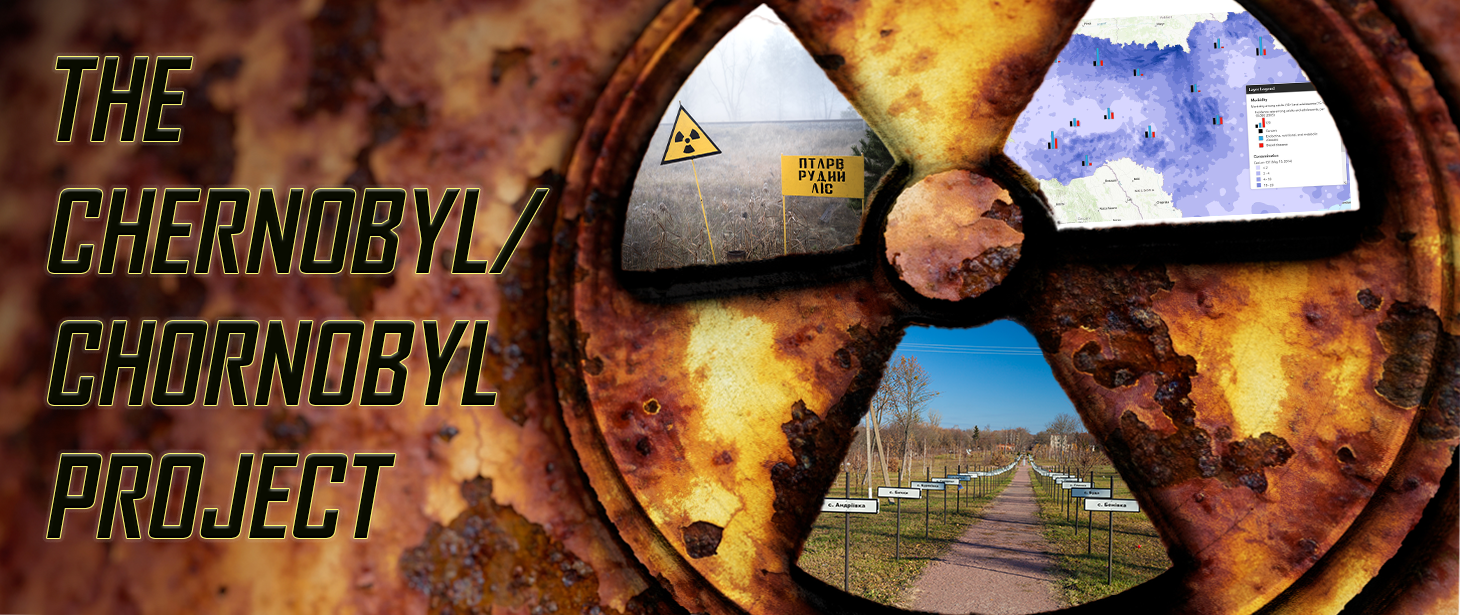
Thirty-five years after an explosion at the Chernobyl Nuclear Power Plant unleashed a devastating amount of radioactive material, research on the disaster and its consequences continues to develop. As part of this ongoing work, the MAPA: Digital Atlas of Ukraine team has launched its Chernobyl/Chornobyl Project, which brings innovative geospatial analysis to the study of the accident's environmental and human impact. It takes advantage of methods developed by scholars working in the field of integrative geography, which looks at the spatial aspects of the interaction between the human societies and their environment.

Specifically, the project aims to examine consequences such as radioactive contamination, irradiation, population dynamics and resettlements, and population health. The map layers allow researchers to observe correlations between different sets of data and changes in values over time while visualizing the data by location within Ukraine.
In addition to providing researchers with tools to analyze the long-term consequences of this disaster and to develop new questions based on the patterns they observe, the project seeks to educate the general public about the consequences of nuclear disasters.
More information about the project, including its data sources, can be found on the MAPA website, where the web maps and other tools are also available for anyone to use. The team recently launched the project during a public event within HURI's Seminar in Ukrainian Studies; the video (which remains on YouTube) provides an introduction to the MAPA website as well as the new project's features and initial findings.
The MAPA Team consists of Serhii Plokhii, Nataliia Levchuk, and Kostyantyn Bondarenko.
